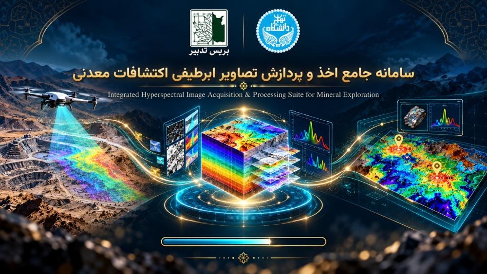
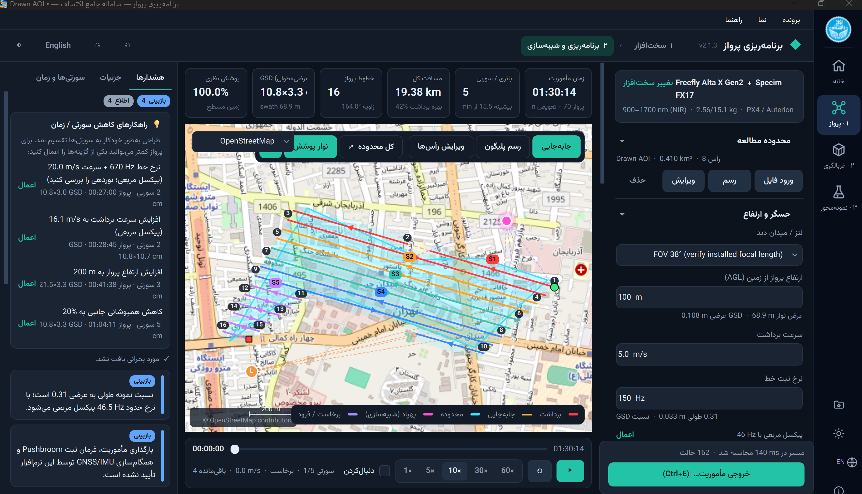
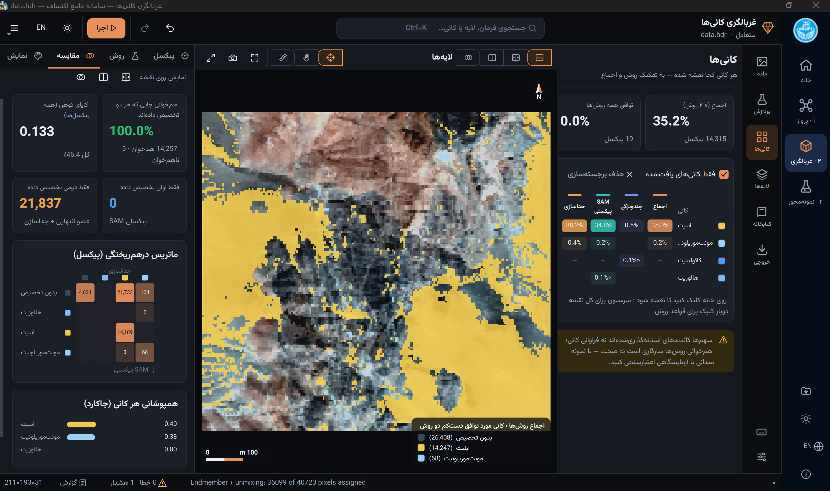
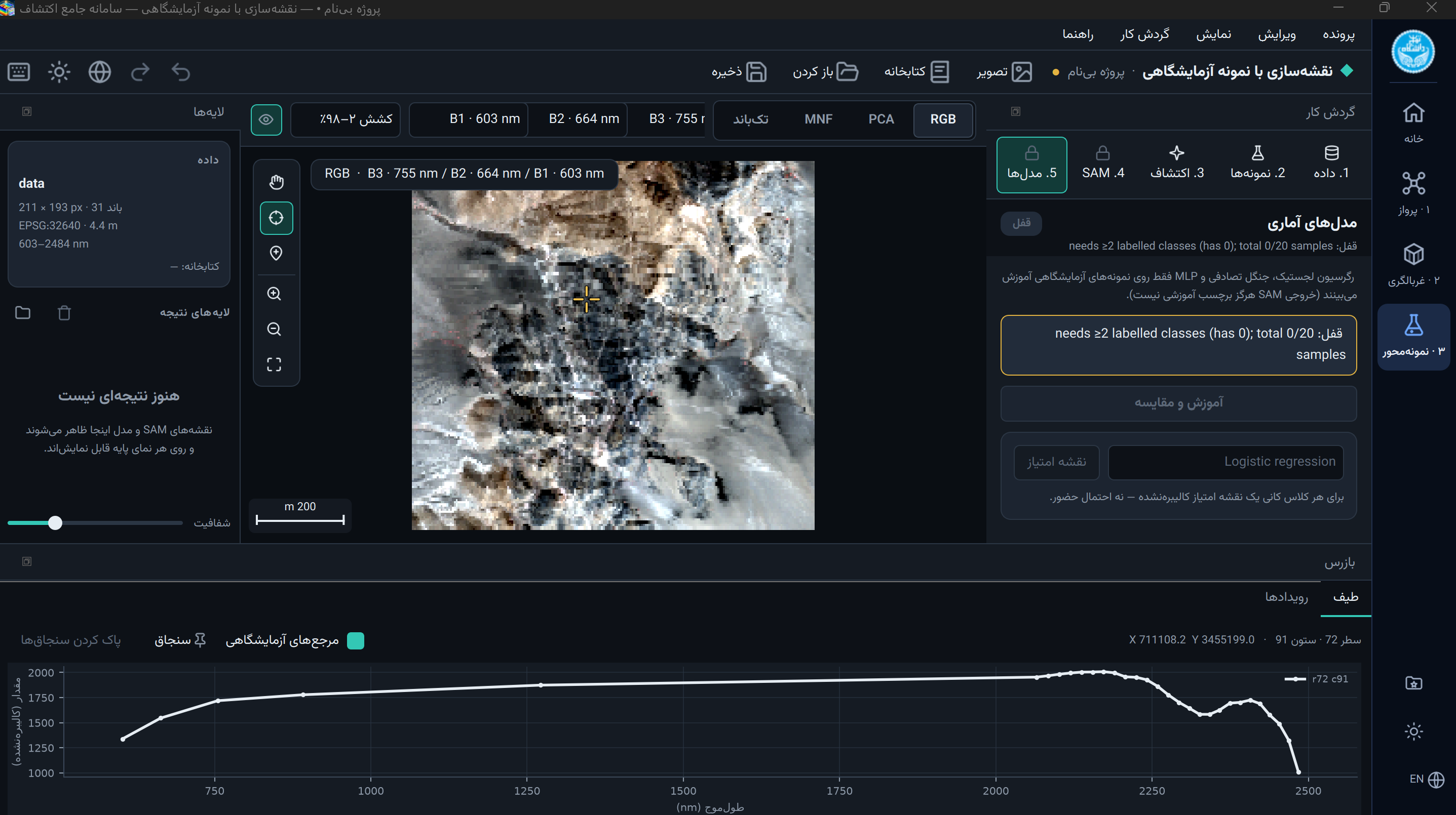
This software, utilizing hyperspectral imagery and employing complex processing algorithms, is capable of extracting valuable information from satellite data and identifying high-potential mineralization zones with remarkable accuracy.
🎯 Key Capabilities of the Software:
-
🛰️ Processing of multispectral and hyperspectral satellite imagery
-
🧪 Identification and mapping of alteration zones
-
📍 Targeting mineral prospects in exploration districts
-
🤖 Utilization of advanced satellite image processing algorithms
-
📊 High-precision and high-speed analysis of remote sensing data
-
🗺️ Generation of analytical maps and mineral prospectivity mapping
💡 Why is this software important?
Traditional mineral exploration is time-consuming and costly. By integrating satellite data, intelligent algorithms, and multispectral/hyperspectral analyses, this software makes the exploration process faster, more accurate, and more cost-effective. It serves as an efficient tool for geologists, mining engineers, and exploration companies.
📌 Applications:
-
Exploration of metallic and non-metallic deposits
-
Mineral prospectivity mapping at a regional scale
-
Environmental studies and land change monitoring
-
Exploration projects in inaccessible areas
For further information and expert consultation regarding the software, please contact us.