Satellite Geodesy Laboratory of the Faculty of Surveying and Geospatial Engineering
The Satellite Geodesy Laboratory of the Faculty of Surveying and Geospatial Engineering, College of Engineering, University of Tehran, has successfully developed an indigenous software for transmitting real-time corrections for network-based precise satellite positioning and online processing of GNSS observations.
This software, aimed at fully replacing imported software and reducing dependence on foreign technologies, has been entirely designed and developed at the University of Tehran and has been tested and evaluated within the permanent station network of the National Iranian South Oil Company.
The presented software is a modern, secure, and intelligent platform for processing observations from global positioning satellites, including GPS, Galileo, BeiDou, and GLONASS. This system is capable of automatic and precise processing of observations using static, PPK, PPP, and SPP methods, as well as observation quality control, and provides the capability to implement various positioning methods and real-time monitoring of ionospheric and tropospheric effects.
With support for various GNSS satellite data types, this software is a practical tool for surveying engineers, researchers, companies, and organizations active in the field of satellite data measurement and monitoring. The designed system features various capabilities, including connection to reference stations and receiving corrections in both client and server modes, support for all existing GNSS constellations and signals with the possibility of future updates, simultaneous support for at least 50 permanent GNSS stations and 200 users, and phase ambiguity resolution for baselines up to 70 kilometers.
Achieving relative accuracy of 2 cm horizontally and 3 cm vertically in static method with a maximum of 15 minutes of occupation, relative accuracy of 4 cm horizontally and 5 cm vertically in PPK and NRTK methods, and providing corrections with a maximum allowable latency of 0.5 seconds are among the technical features of this system.
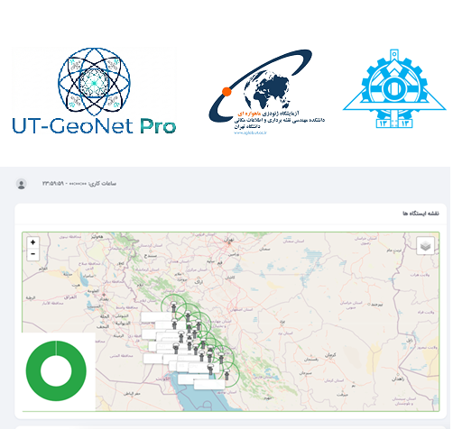
This software also has the capability to connect to reference stations via serial ports, TCP, and UDP, support for NTRIP protocol versions 1 and 2, display of an online map with a background similar to Google Maps, the ability to view the position, status, and information of CORS stations and active users, and generation of KML outputs.
Support for various data formats including RTCM2.x, RTCM3.x, RINEX 2.x, RINEX 3.x, and raw data, data archiving, no limit on the number of RTCM inputs, modeling corrections and transmitting them with NEAREST and VRS algorithms, and the capability for data analysis and quality control with graphical display and preparation of specialized reports are among the other features of this system.
Among the advanced capabilities of this software are modeling error behavior in State Space Representation and Observation Space Representation, recording and viewing logs of all system events, user and station activities, post-processing of raw data differentially in Static and Stop-and-Go modes, point processing of data in SPP and PPP modes, and analysis of behavioral models of ionospheric and tropospheric effects by extracting STEC and ZTD parameters.
Additionally, the capability for real-time monitoring of reference station coordinates, recording and displaying their change history, and benefiting from a portal offering advanced services with various access levels for users have transformed this software into a comprehensive and indigenous system in the field of precise satellite positioning.
The Satellite Geodesy Laboratory of the Faculty of Surveying and Geospatial Engineering, College of Engineering, University of Tehran, is managed under the supervision of Dr. Saeed Farzaneh, a faculty member of the University of Tehran, with the participation of various students and researchers.