










News

20 11 2024 12:45
News Code : 26621939
View Count : 1605
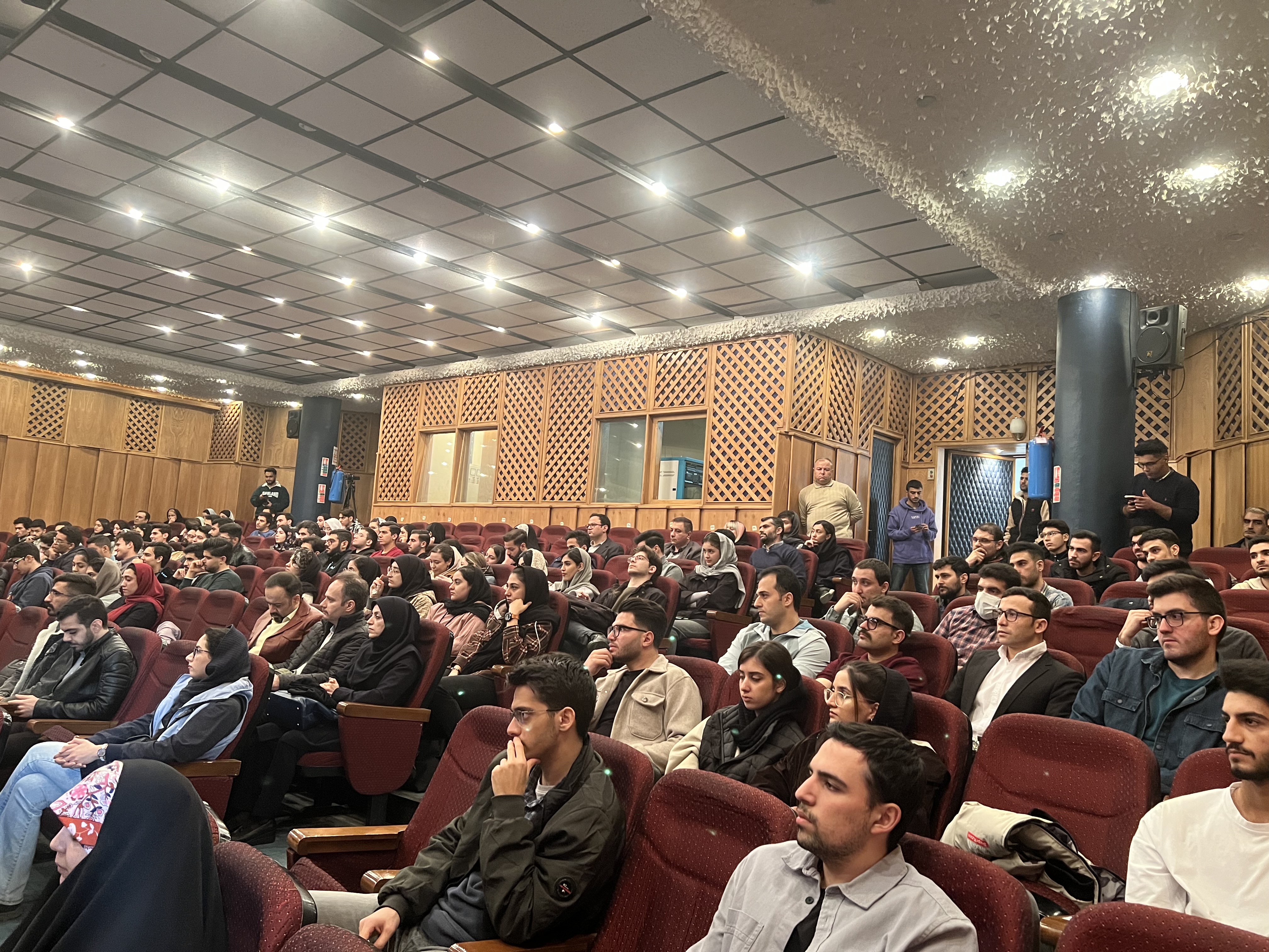
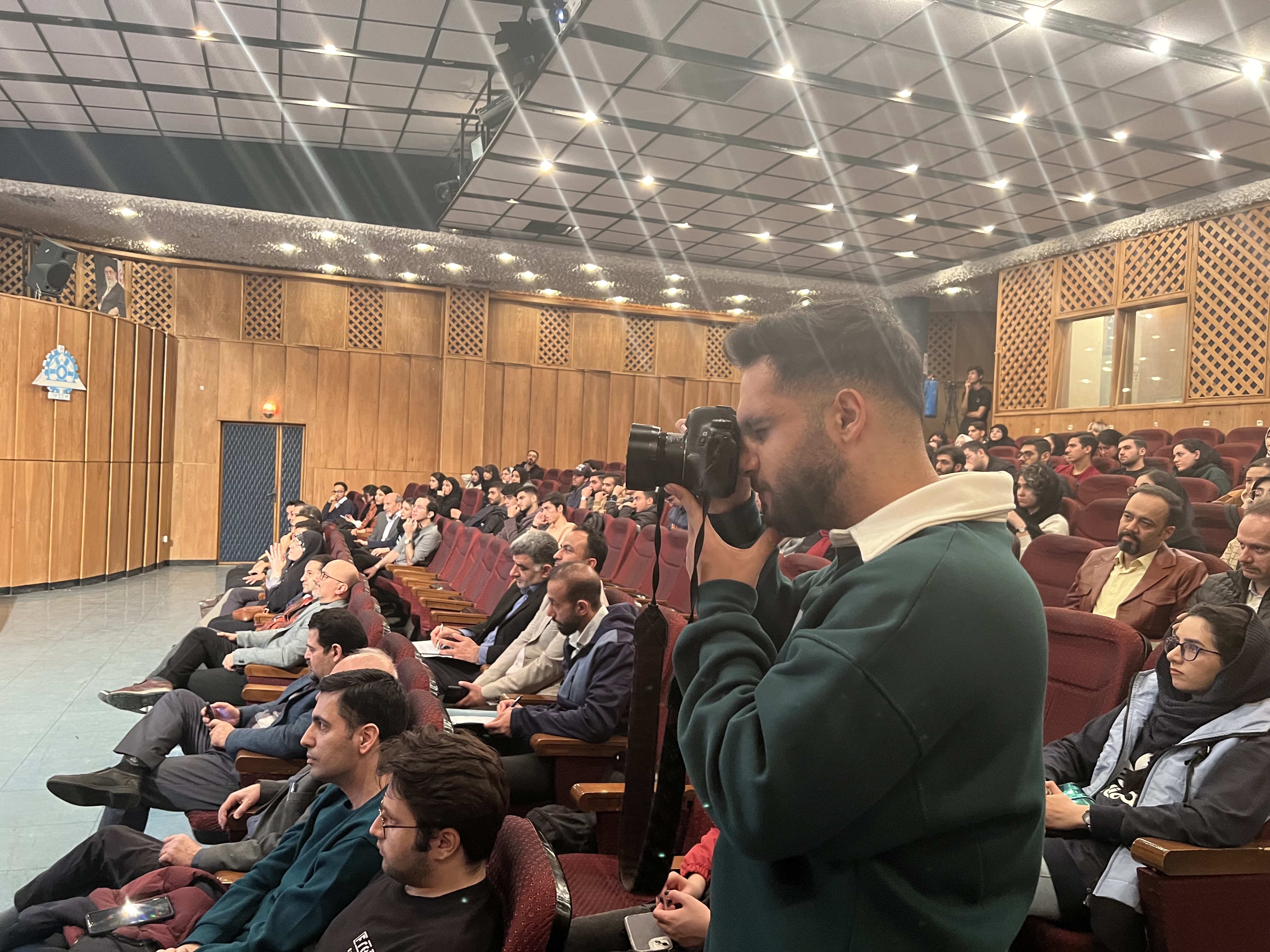
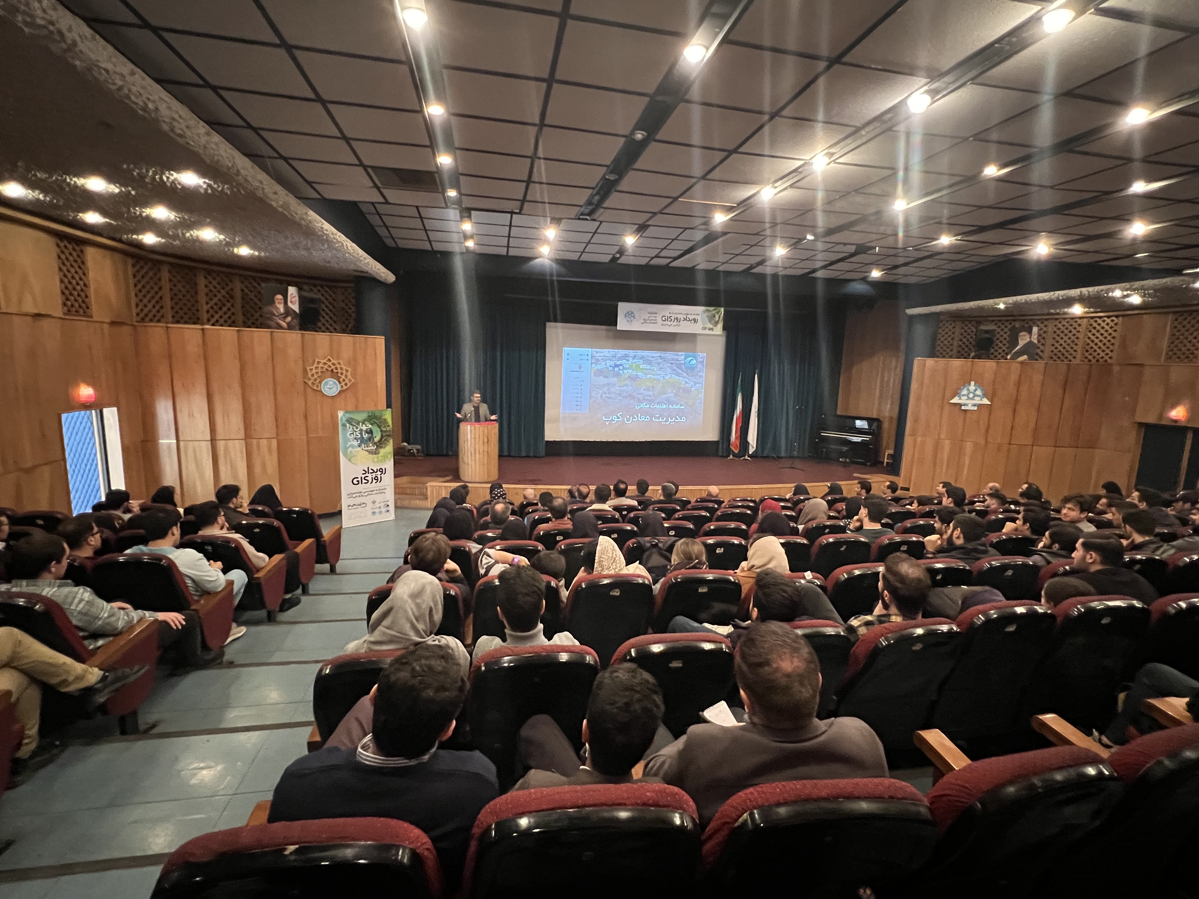
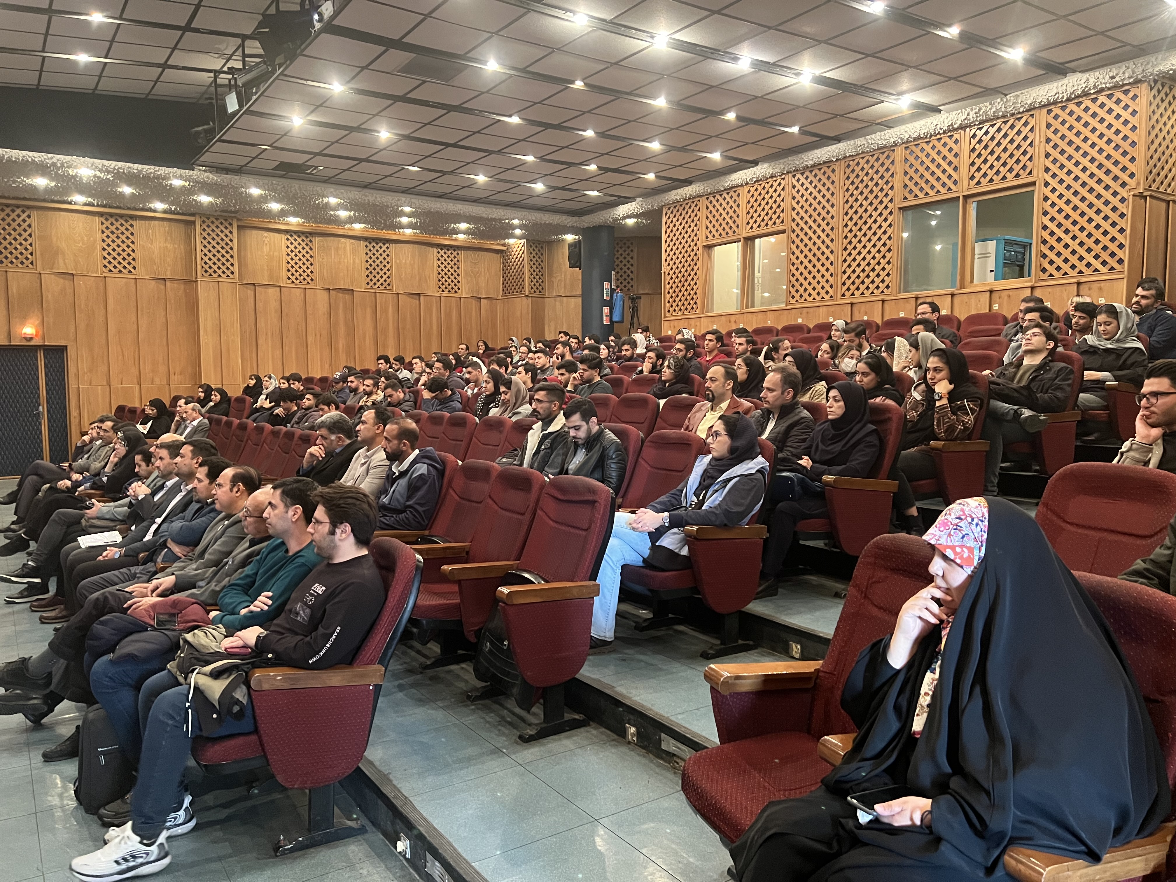
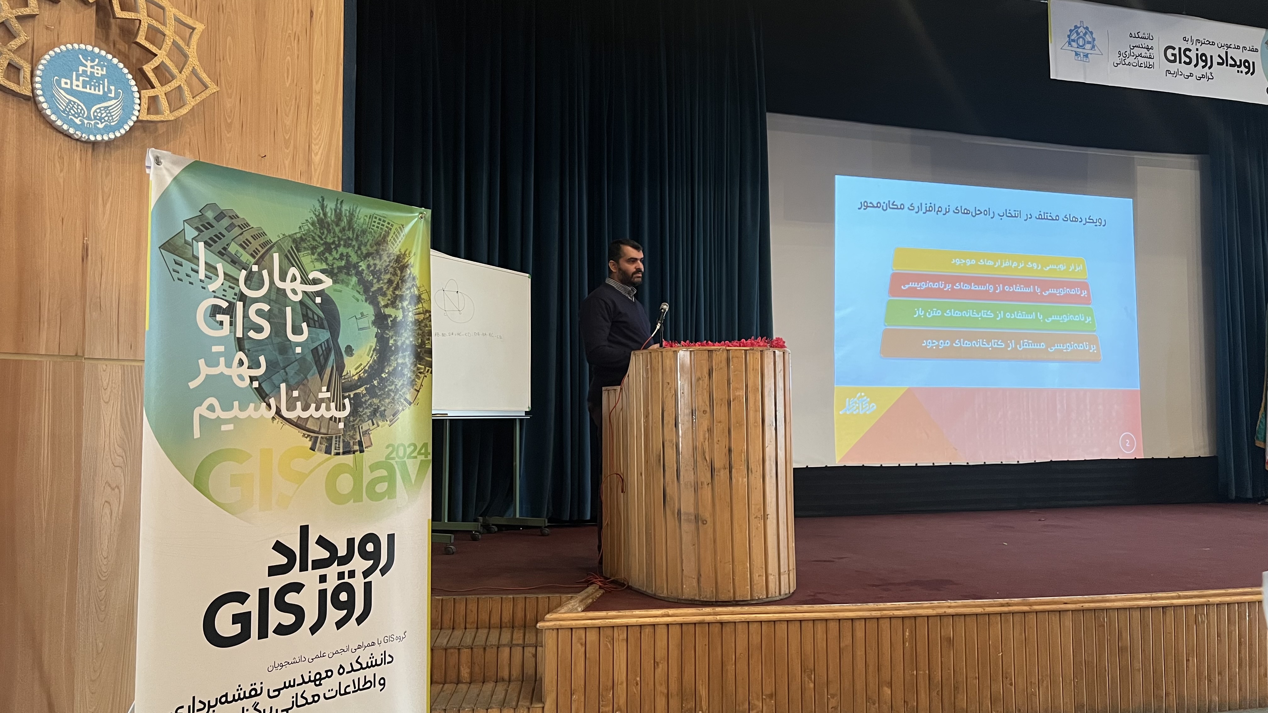
World GIS Day was established in 1999 at the suggestion of the Director General of ESRI, one of the largest developers of GIS software, with the aim of raising awareness about this technology. GIS Day is a global event held annually in almost every country to celebrate and promote public awareness of Geographic Information Systems (GIS). It is celebrated on the third Wednesday of November each year, and this year, it falls on November 20, corresponding to the 30th of Aban. This day provides an opportunity for individuals, organizations, universities, and institutions worldwide to come together and showcase the applications and achievements of GIS.
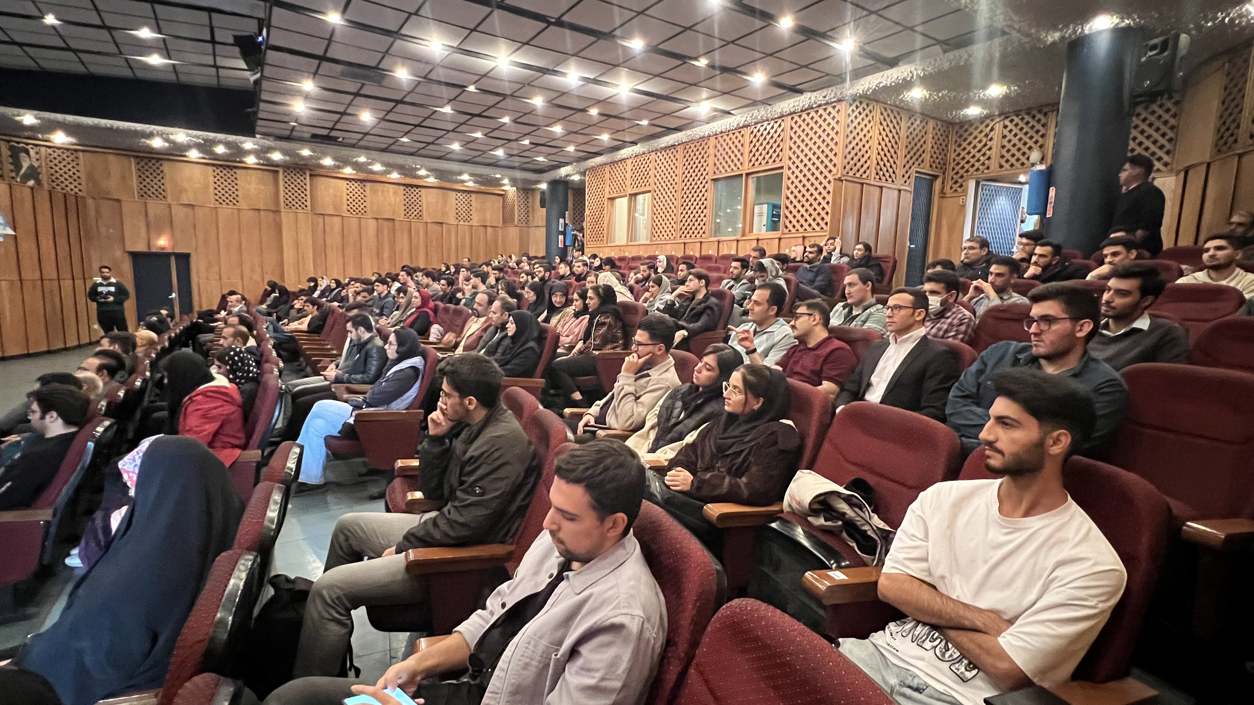
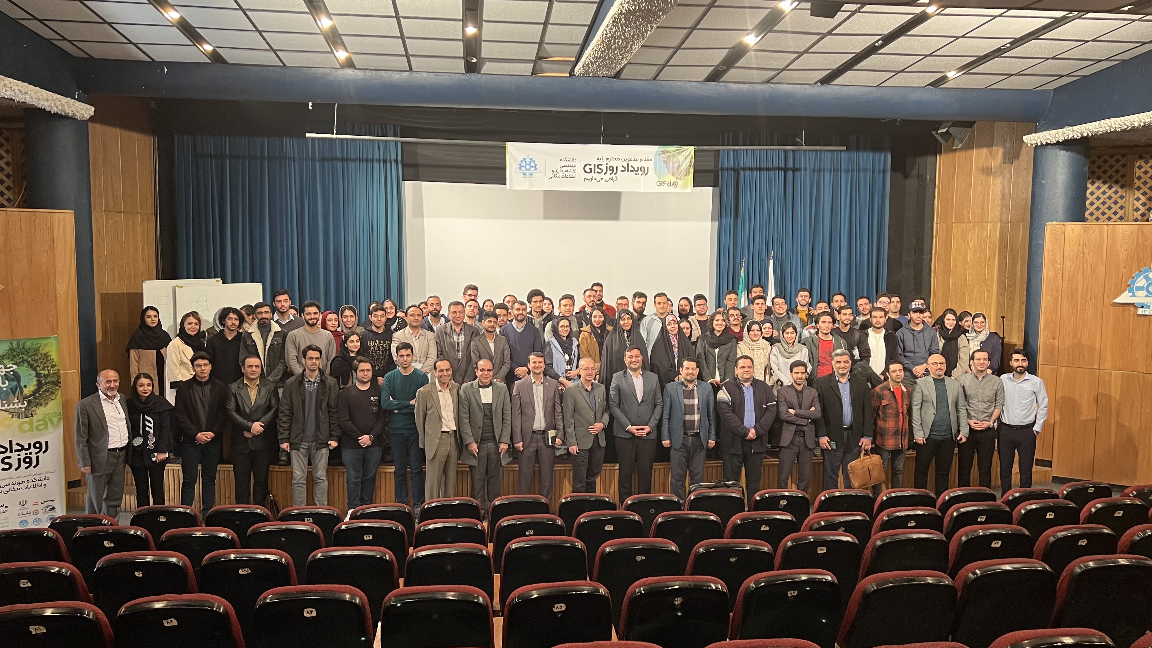
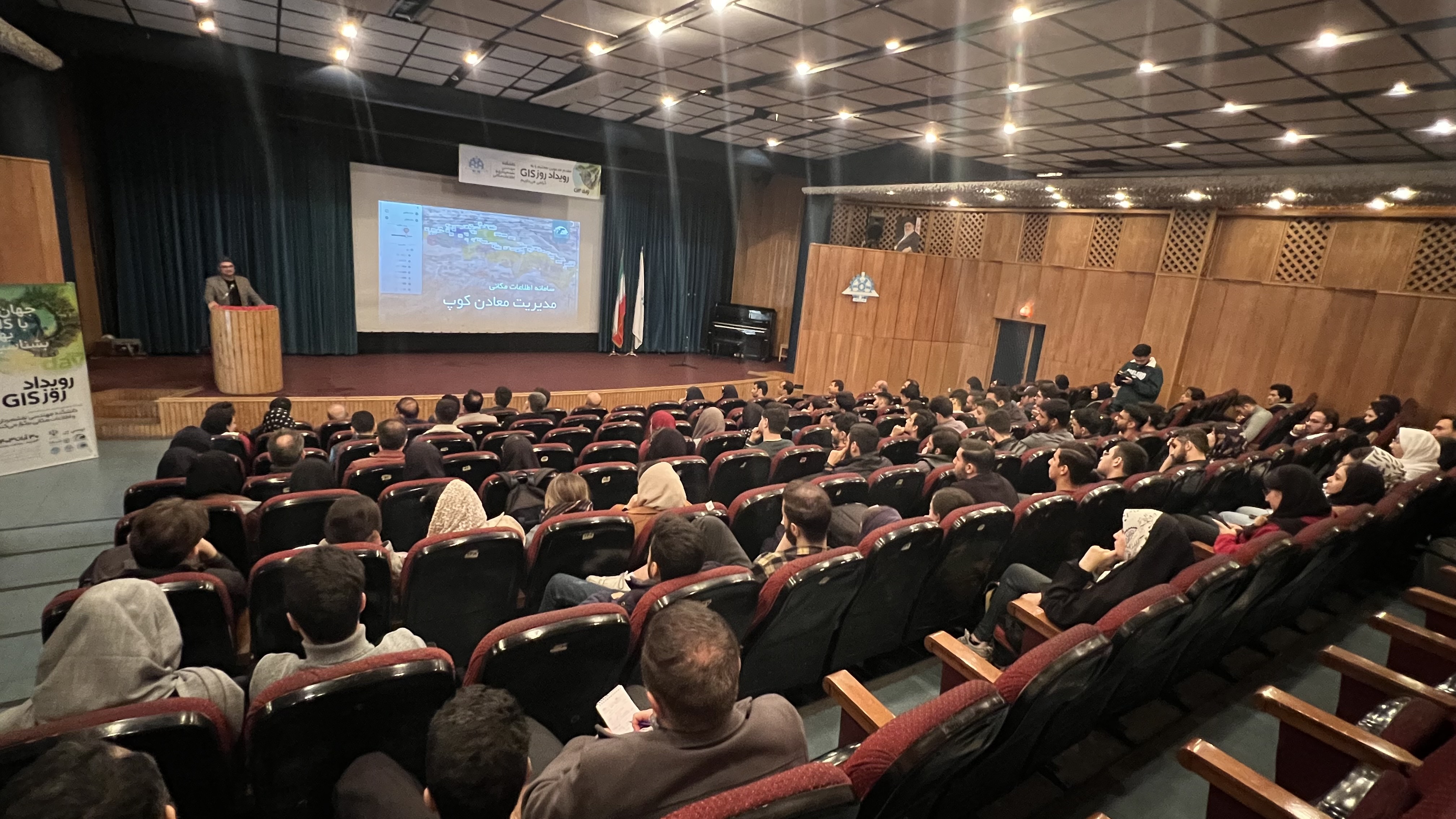
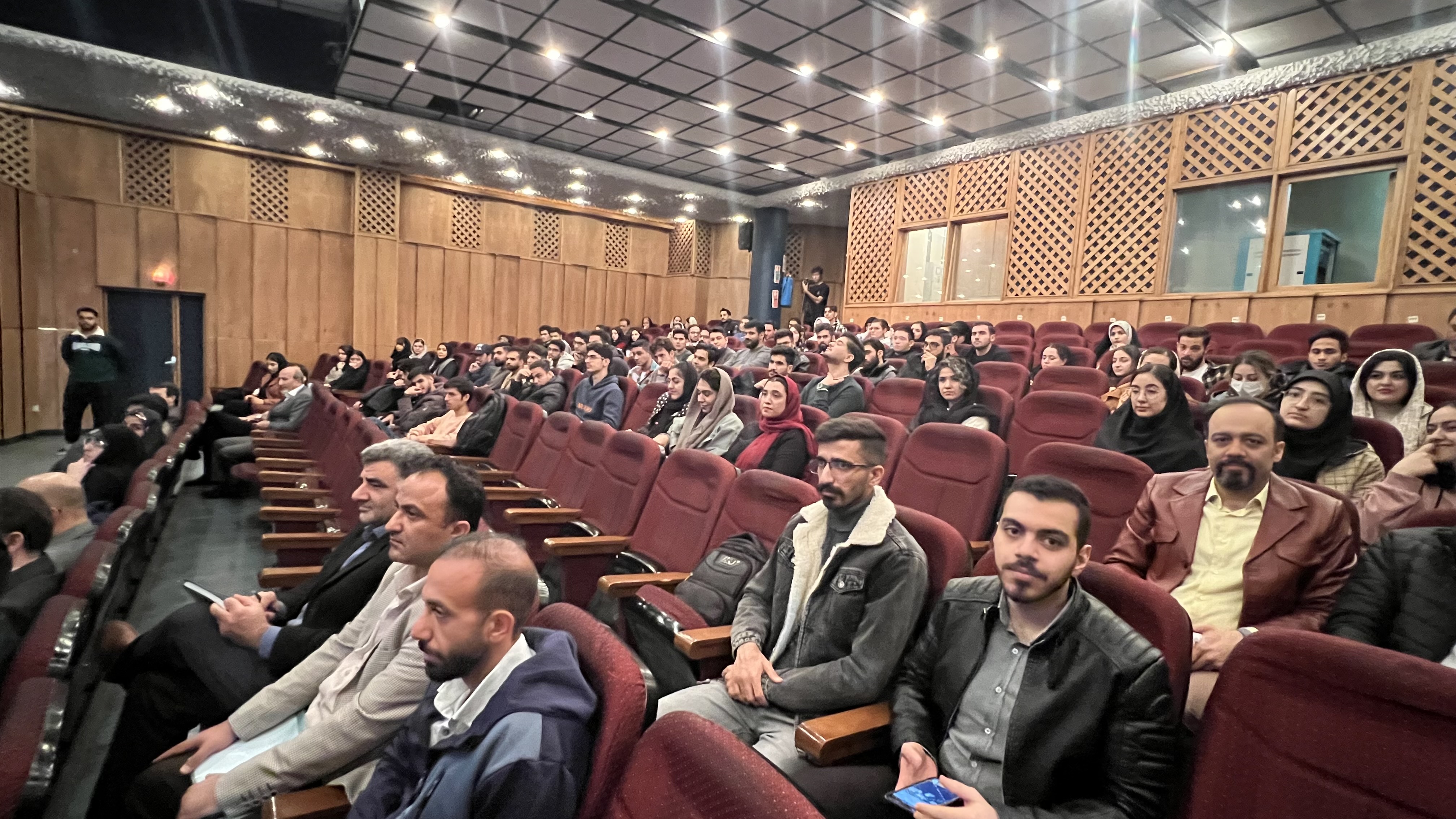
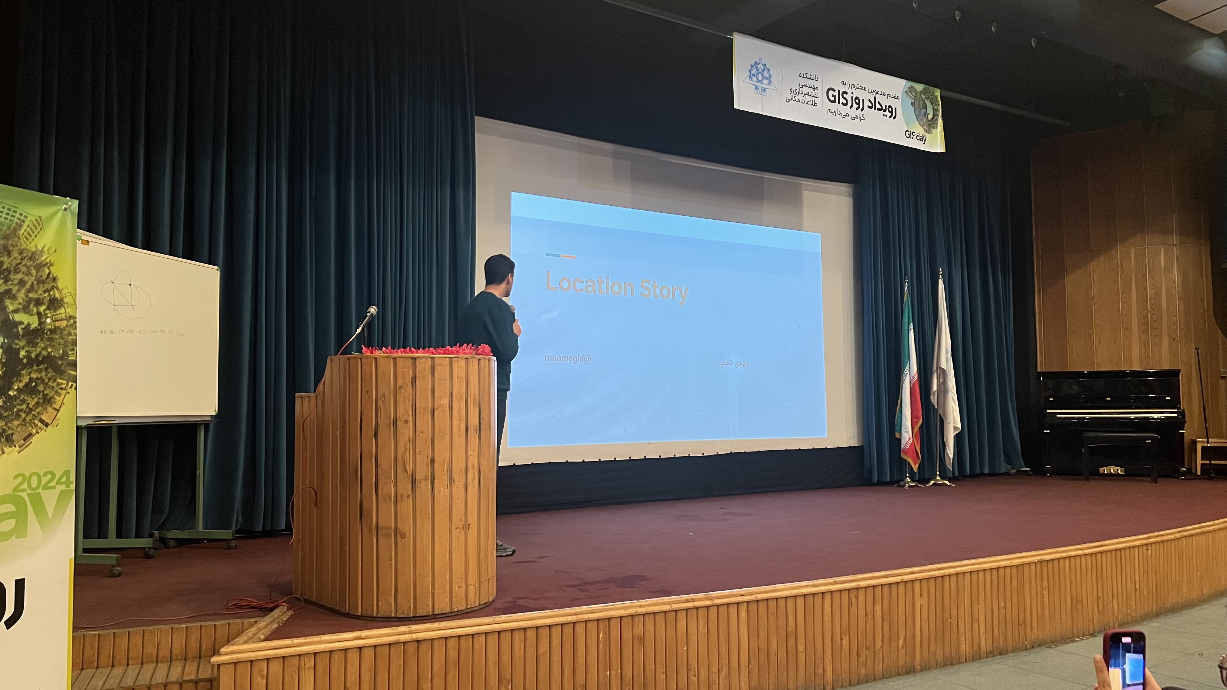
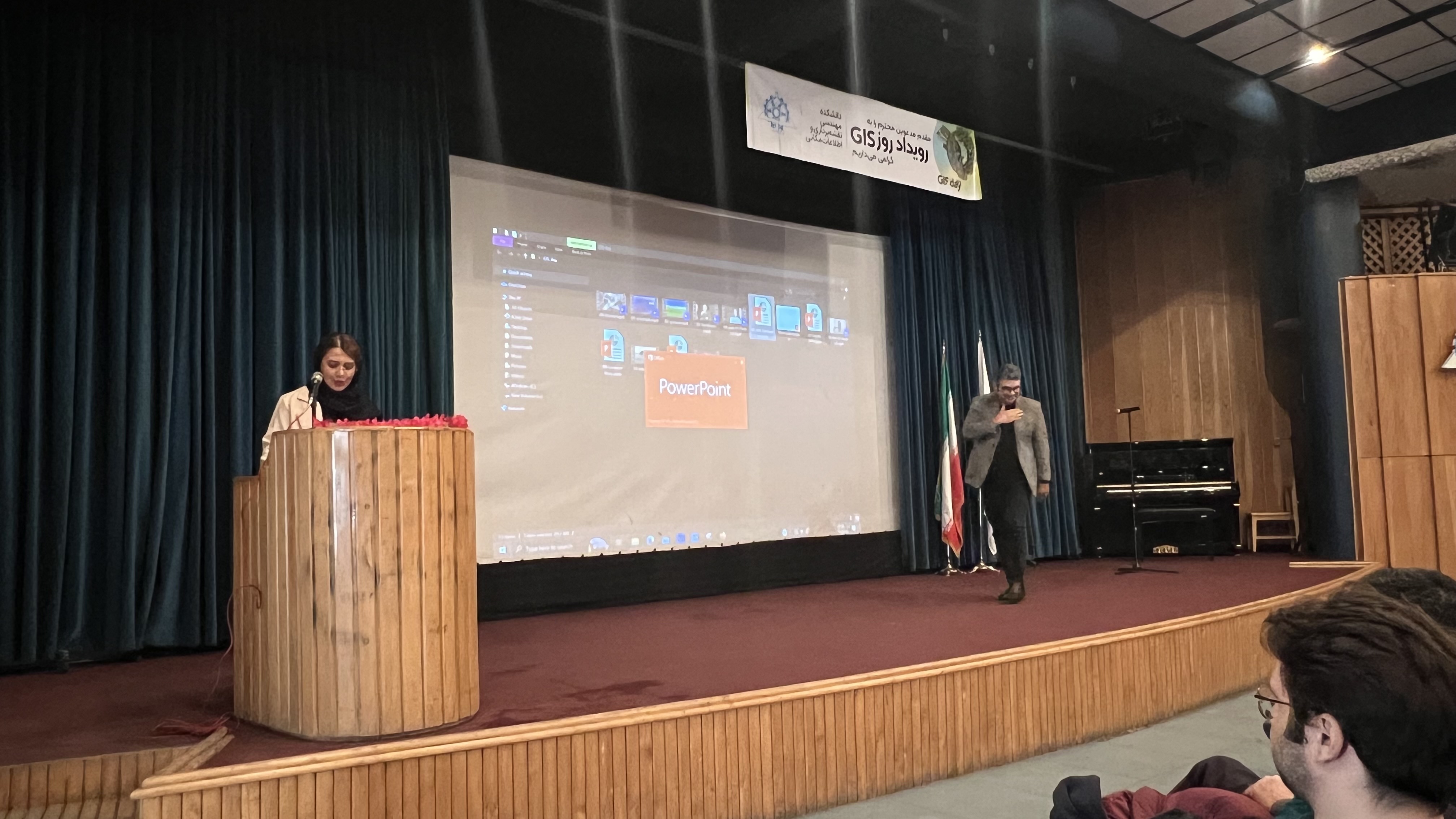
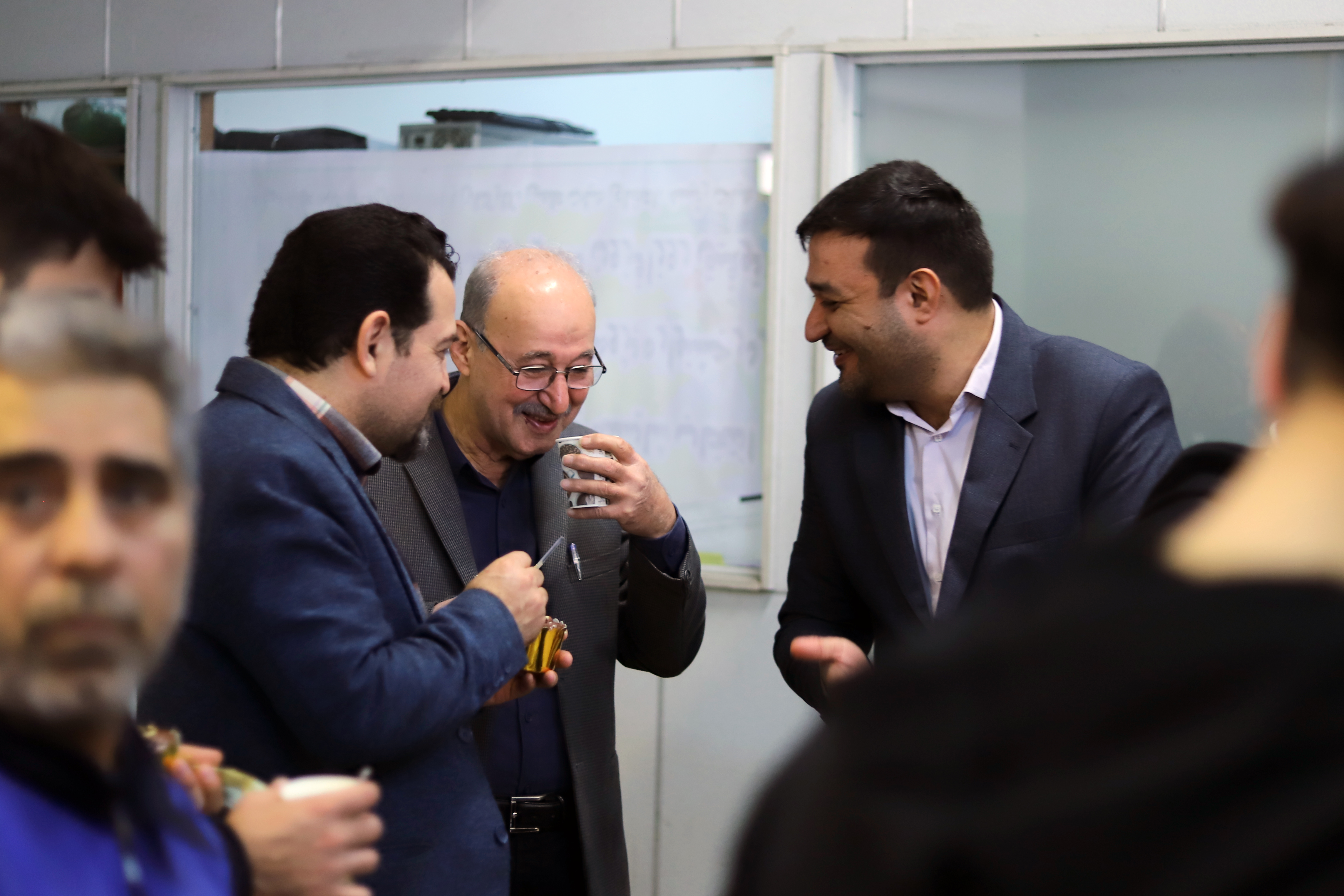
The goal of this day is to familiarize the general public, students, professionals, and managers with the capabilities of GIS and encourage them to use this technology to solve everyday and long-term problems. In line with global trends, in the 25th year of this celebration, the Geospatial Information Systems group at the Faculty of Surveying and Geospatial Engineering, University of Tehran, also organized the current event to provide students with more insight into the role and significance of GIS and its graduates in the business world of the country.
GIS Day 2024 Event Schedule (Wednesday, 30th of Aban, 1403)
|
زمان شروع |
عنوان برنامه |
|
9:30 |
پذيرش و ثبت نام |
|
10:00 |
پخش سرود ملي و قرائت قرآن |
|
10:05 |
خيرمقدم و معرفي رويداد و اعلام برنامه |
|
10:10 |
سخنراني آقای دکتر حسنلو (رئيس دانشکده) |
|
10:15 |
فيلم زندگينامه راجِر تاملينسون (Tomlinson) |
|
10:20 |
سخنراني آقای دکتر سجاد احدزاده (رياست مرکز همکاريهاي تحول و پيشرفت رياست جمهوري) |
|
10:30 |
اجراي موسيقي زنده (خانم مهندس ساينا جوانبخت و آقای مهندس سپهر جوانبخت) |
|
10:35 |
پخش فيلم مصاحبهها (بخش اول) |
|
10:50 |
سخنراني آقای دکتر مسعود مجرب (شرکت مهندسين مشاور بنيان زمين) |
|
11:00 |
برگزاري مسابقه دانشجويي |
|
11:10 |
سخنراني آقای مهندس سلمان معصومي (شرکت تپسي) |
|
11:20 |
پخش فيلم مصاحبه ها (بخش دوم) |
|
11:30 |
سخنراني آقای مهندس مهدي نامقي (شرکت نشان) |
|
11:40 |
اجراي موسيقي زنده (آقای مهندس فراز سرحدي) |
|
11:45 |
معرفي فریمورک متنباز مکاننگار (آقای مهندس حسين نريماني راد) |
|
11:50 |
سخنراني آقای دکتر عليعباسپور (رئيس گروه سيستمهاي اطلاعات مکاني) |
|
11:55 |
اعلام اختتام و دعوت به عکس يادگاري |
|
12:00 |
پذيرايي |


https://geospatialeng.ut.ac.ir/en/article/26621939