Comprehensive Academic Disciplines
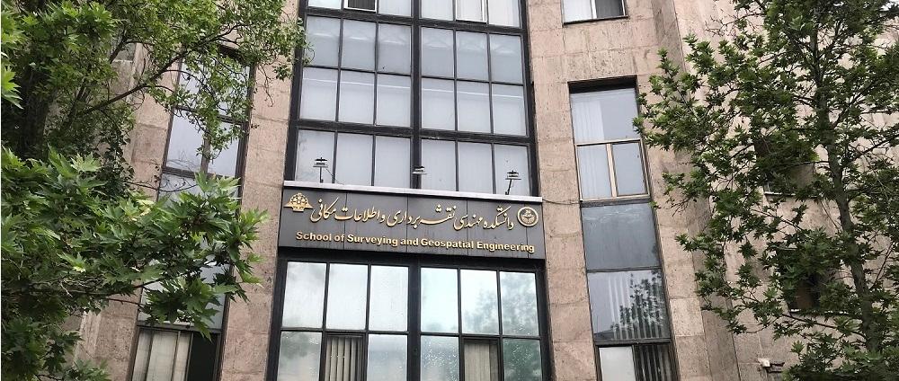
With five specialized fields of study—Geodesy, Hydrography, Photogrammetry, Remote Sensing, and Geographic Information Systems (GIS)—the Faculty offers a broad academic foundation for education and research across diverse areas of geospatial science and technology.
Education at Three Academic Levels
Offering academic programs at the Bachelor's, Master's, and Ph.D. levels provides students with a continuous pathway for academic and professional development—from fundamental engineering education to advanced specialized research.
Research and Innovation in Emerging Technologies
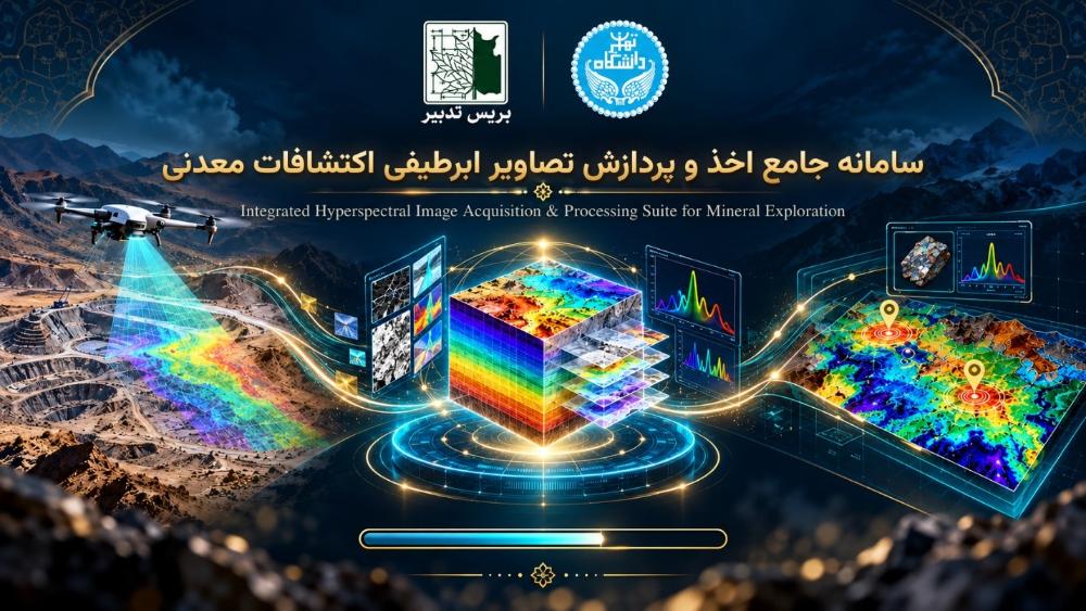
Research activities in areas such as multispectral and hyperspectral remote sensing, 3D photogrammetry, radar interferometry, satellite geodesy, deformation monitoring, and intelligent geospatial data analysis contribute to scientific advancement and innovative technological solutions.
Specialized Laboratories and Research Facilities
The Faculty's specialized laboratories and research facilities across various fields of surveying and geospatial engineering provide opportunities for hands-on experience, advanced research, and direct engagement with professional instruments and technologies.
Connecting Knowledge to Societal Needs
By focusing on the applications of geospatial technologies in natural resource management, agriculture, environmental studies, land monitoring, smart cities, transportation, and civil engineering projects, the Faculty connects specialized knowledge with real-world challenges and societal needs.
Developing Academic and Professional Skills
Through skills-oriented education, specialized training courses, and scientific and student activities, the Faculty provides opportunities to strengthen technical competencies, gain familiarity with emerging tools, and prepare students for successful careers in professional fields.