
Intelligent Remote Sensing Data Analysis - دانشکده مهندسی نقشه برداری و اطلاعات مکانی geospatialeng
- Multispectral and Hyperspectral RS
- 3Dimensional Remote Sensing
- Close Range Photogrammetry
- Satellite Geodesy Laboratory
- Radar Interferometry and Deformation Monitoring
- Location Base Solution Labratory
- Geodynamic Studies and Modeling Laboratory
-
Intelligent Remote Sensing Data Analysis Laboratory
- Geospatial-based Hydrologic Studies Lab
- Land Administration in Smart Cities
- Microwave Remote Sensing Laboratory
-
Gravimetry Laboratory
- Quantum algorithms Labratory
- Back
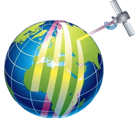
Intelligent Remote Sensing Data Analysis Laboratory

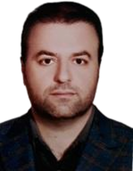
Laboratory supervisor:
 |
 +98(21) 61114527
 rshahosseini[at]ut.ac.ir
|
Definition and characteristics of the laboratory: Objectives of the laboratory: Smart Remote Sensing Data Analysis LaboratoryThe Smart Remote Sensing Data Analysis Laboratory will be established with the aim of generating technical knowledge and creating a suitable processing infrastructure for machine learning, pattern recognition, and spatial data analysis. Given the lack of an equipped laboratory to meet the needs of students for research in the fields of machine learning, pattern recognition, and spatial data analysis within the faculty, the necessity for this laboratory has been recognized. The objectives of this laboratory include:
Additionally, the following activities will be carried out in this laboratory:
|